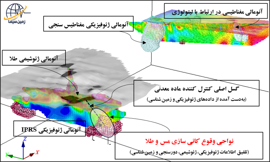
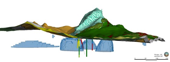
3D Integration of Exploration Data
To increase the accuracy and validity of the resulting subsurface models, several geophysical methods and models are simultaneously integrated in a 3D environment, along with other exploration information such as geological, geochemical, and drilling data, and the results are interpreted.
The process of integrating exploration data at Zamin Sima Company includes:
-
3D Integration of Geophysical Models with Complementary Exploration Data:
Combining and analyzing different models to better clarify subsurface features.
-
Determination and Presentation of Optimal Locations for Drilling Boreholes:
Identifying suitable drilling positions based on the final integration of data and resulting models.
-
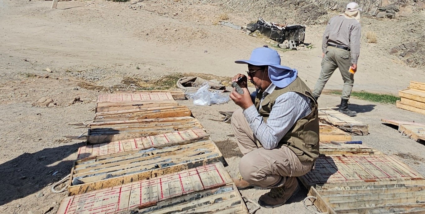
Evaluation and Iterative Update:
Studying the results of the cores obtained from the drilled boreholes and continuously updating the models and exploration recommendations based on the new, confirmed data.