Advanced Exploration Geophysics Services: Accurate Subsurface Modeling for Confident Decision-Making
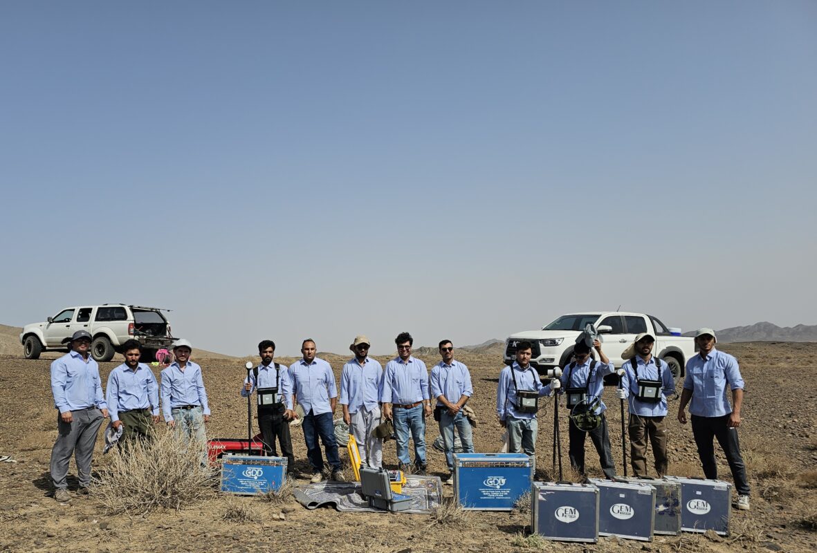
Zamin Sima Company’s geophysical services are the key to accurately understanding subsurface structures for successful explorations. By adopting a comprehensive approach, we execute the collection of **accurate subsurface information** using a combination of advanced geophysical methods.
Our process includes:
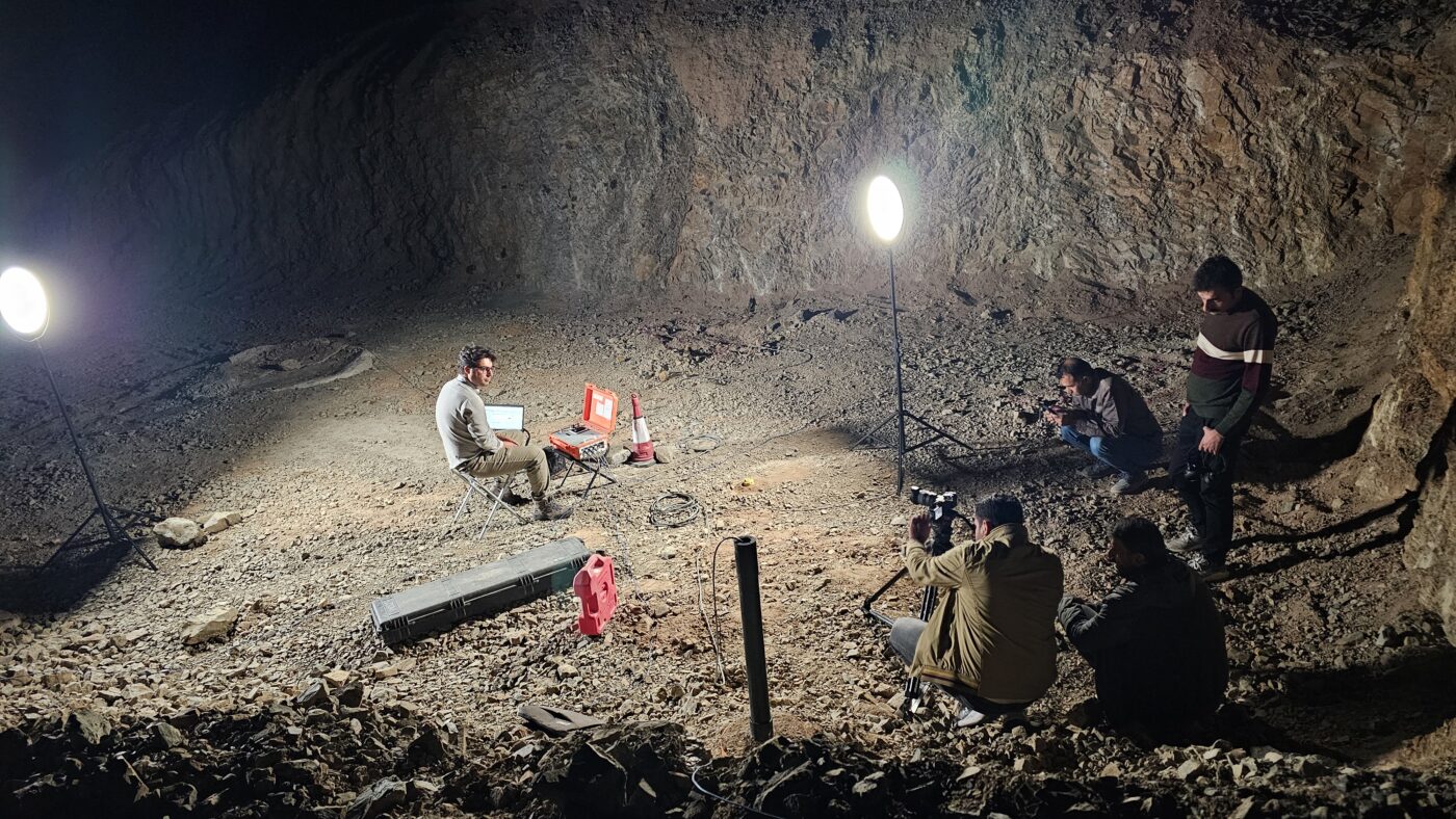
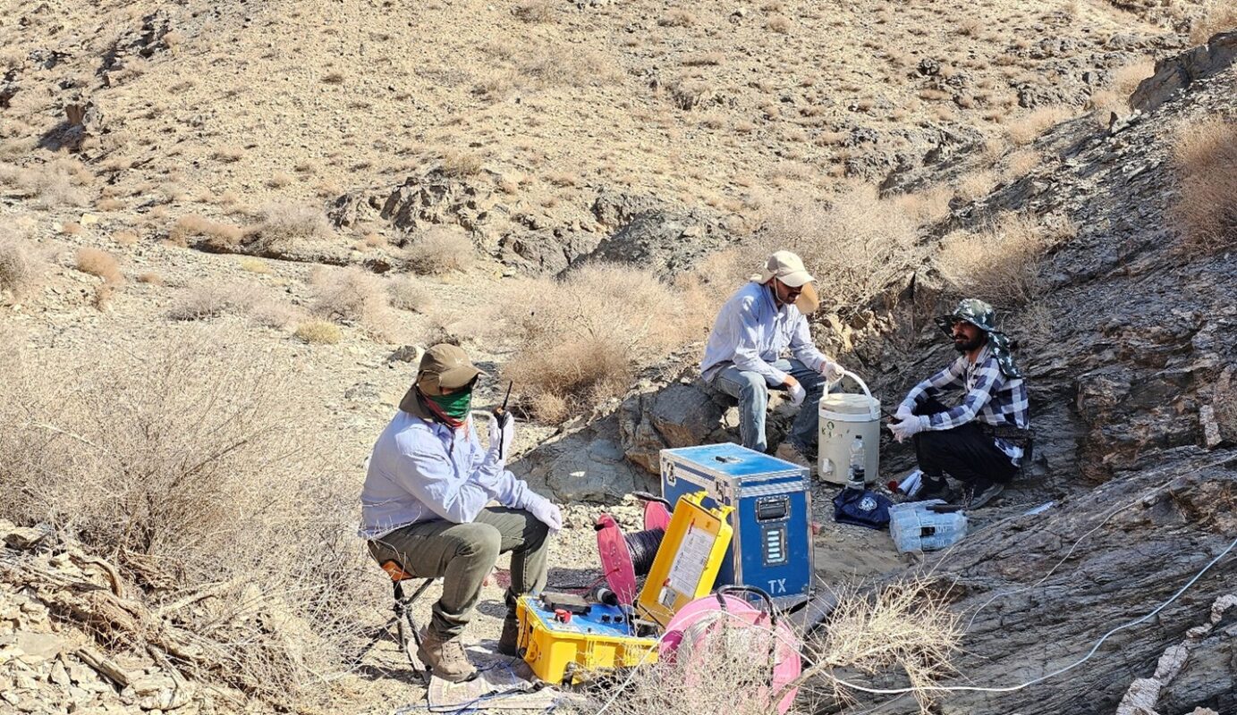
- Accurate Field Data Acquisition
- Advanced Data Processing
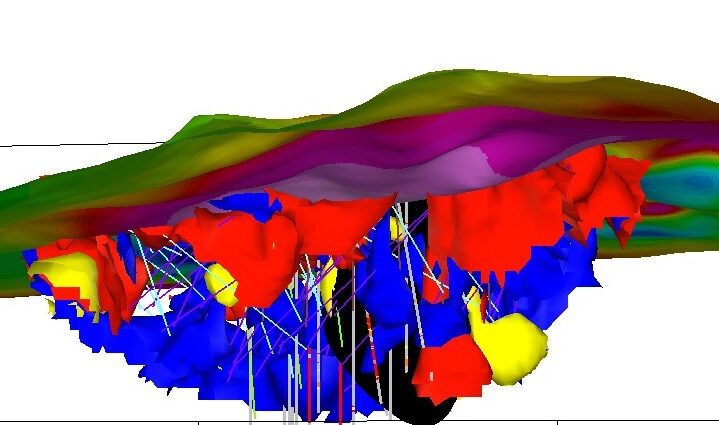
- Three-Dimensional (3D) Modeling
- Expert Interpretation
This combination ensures that exploration targets are optimized, drilling locations are determined with high precision, and the environmental impact of exploration operations is minimized.
Key Methods Used for Successful Discoveries
We utilize the following geophysical tools to achieve your exploration goals, summarized as follows:
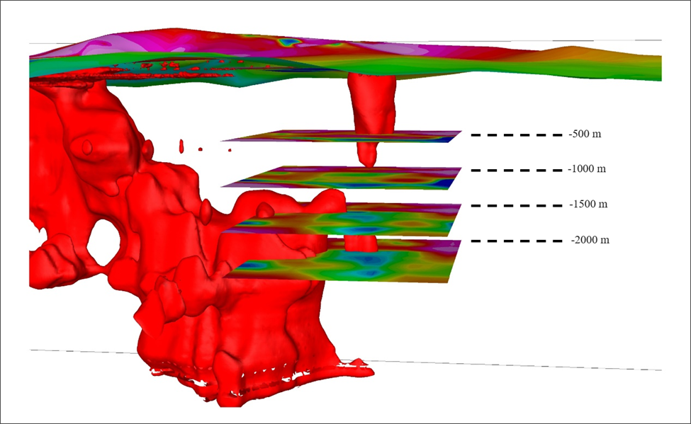
1. Magnetotellurics (MT): The Depth Explorer
Magnetotellurics is a passive electromagnetic method that utilizes the Earth’s natural fields. Having the **greatest depth of investigation** among geophysical methods, it allows for the examination of subsurface structures from depths of tens of meters to tens of kilometers.
2. Resistivity and Induced Polarization (IP/RS): Differentiation of Mineralization and Structure
Resistivity and Induced Polarization surveys, with minimal environmental impact, provide **high-resolution** data. This data is vital for accurately identifying geological units, defining fault boundaries, and delineating areas with mineralization potential.
3. Magnetometry: Mapping Lithological Anomalies
This technique reveals the presence of magnetic minerals, geological structures, and major changes in subsurface lithology by measuring variations in the Earth’s magnetic field.
4. Ground Penetrating Radar (GPR): Exceptional Clarity in Surface Layers
Ground Penetrating Radar (GPR) surveys provide **high-resolution** cross-sectional images of shallow subsurface layers and are ideal for urban studies and complex shallow geological environments.
5. Gravimetry: Measuring Density Variations
Gravimetry measures minute variations in the Earth’s gravitational acceleration, which are caused by differences in the density of subsurface materials. This method is highly effective for identifying large structures, such as dense intrusive bodies (often associated with mineralization), as well as large cavities and faults, and determining the approximate depth of these anomalies.
6. Seismic: Precise Determination of Layered Structures
The Seismic method (Reflection or Refraction), by generating and receiving seismic waves, provides detailed information about the geometry, depth, and dynamic properties of the Earth’s layers. This technique is essential for mapping complex layered structures and accurate environmental monitoring.